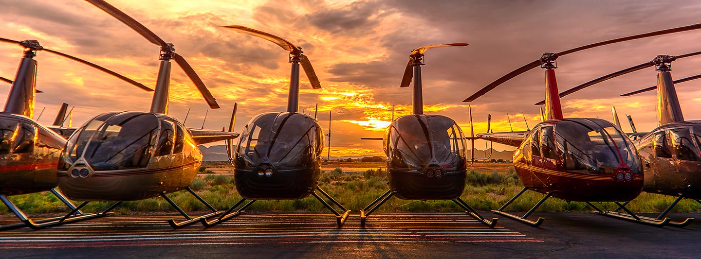
Comprehensive Aerial Data Acquisition and Media Services
Elevated Perspectives for California Projects
For comprehensive aerial survey requirements across California, San Francisco Helicopter Charters provides advanced solutions encompassing magnetometer and electromagnetic surveys, LiDAR data acquisition, and precision GIS mapping. Our services harness the inherent advantages of rotorcraft, including low-altitude flight profiles and stable hover capabilities, critical for high-fidelity data capture over diverse terrains, from the coastal ranges to the Central Valley. Furthermore, we specialize in sophisticated aerial cinematography and photography services, offering access to cutting-edge camera platforms and gyro-stabilized mounts. Whether your project demands detailed infrastructure inspection, environmental monitoring, or cinematic aerial perspectives of iconic landmarks like the Golden Gate Bridge, we custom-tailor configurations, including door-off operations for optimal handheld capture, ensuring unparalleled results.

Aerial
Surveys
LiDAR, GIS Maps, FLIR, HD Video & More
For critical infrastructure monitoring, including extensive pipeline surveys, precise right-of-way inspections, and comprehensive transmission line patrols, San Francisco Helicopter Charters provisions the optimal rotorcraft. Our specialized configurations are equipped with advanced sensors and imaging systems, ensuring accurate data acquisition and the successful execution of your vital infrastructure projects across the Northern California region.
High Tech Results
The Top Pilots in California, Today's Technology... Maximum Results.
Call 1-866-826-4826 Now!
San Francisco Helicopter Charters provides the tools needed to complete your land surveys, utilizing the right equipment to provide the aerial photos that are often needed.
Strategic aerial surveys significantly enhance the efficiency of right-of-way and site inspections, the precise acquisition of topographical data, and the capture of high-definition imagery for complex commercial projects across California. Helicopters offer an unmatched platform for critical infrastructure integrity assessments, such as detecting pipeline anomalies, identifying transmission line deficiencies, or conducting detailed property valuations. San Francisco Helicopter Charters excels in developing bespoke photographic and remote sensing operational plans, meticulously tailored to optimize both technical precision and financial efficiency, thereby ensuring superior project outcomes for clients throughout the San Francisco Bay Area and statewide.
The inherent operational characteristics of rotorcraft, including their ability to execute sustained low-altitude flight and precise hover maneuvers, position them as the optimal platform for detailed aerial surveying. Unlike fixed-wing aircraft, which are generally restricted by FAA regulations to minimum altitudes of 1,000 feet above obstacles, helicopters can operate at significantly lower flight levels. This capability is paramount for granular data acquisition and enables access to visually challenging or inherently hazardous zones, providing engineers and project managers with critical, otherwise unattainable vantage points for comprehensive assessments across California's diverse landscapes.
There is no better way to conduct your visual survey, animal population counts, soil drainage analysis, ROW inspections, pipeline and transmission line inspections, and geographical surveys.

LiDAR Imaging
Light Detection and Ranging, or LiDAR, is a remote sensing method used to examine and measure California topography as well as objects, like vegetation, upon it.

Infrared Imaging
Thermographic IR cameras are used to detect radiation in the long-infrared range of the electromagnetic spectrum and produce images of that radiation, called thermograms.

HD Video Gimbal Capture
Modern HD and 4K cameras can be mounted to helicopters, using the proper STCs, with a gimbal to stabilize photos & videos for detailed results.

Precision Aerial Filming and Advanced Cinematography
For expert camera work in the San Francisco Sky
Get a Fast, free QuoteSan Francisco Aerial Cinematography
San Francisco Helicopter Charters provides unparalleled access to a comprehensive suite of professional-grade aerial cinematography capabilities throughout California. We facilitate custom shoots utilizing the industry's most advanced gyro-stabilized camera mounts, including renowned systems like Tyler Mounts, Wesscam, Cineflex, Pictorvision, and SpaceCam. These platforms integrate seamlessly with high-fidelity specialty cameras such as Cineflex HD, RED Epic, and Arri Alexa, alongside cutting-edge 3D and experimental camera technologies. Our services support all facets of production goals, from dynamic air-to-air sequences to intricate ground-to-air shots, ensuring robust support for your visual narrative. We specialize in precision flight operations that achieve exceptional cinematography, working in close coordination with aerial Directors of Photography and directors to realize their precise creative visions. San Francisco Helicopter Charters is equipped to provision specialized rotorcraft for nearly every media-related operation across California, encompassing major film and television productions, documentary filmmaking, promotional video creation, commercial advertising, aerial prop deployment, essential relief work for news networks, and comprehensive coverage of significant historical and major sporting events.
Call Us Today at 1-866-826-4826 for a Free Quote
Contact Us
Aerial Photos
Hand-held or Mounted OpTions in San Francisco
We will help you get the right equipment for your aerial photography project! Call 1-866-826-4826 today to get a fast, free quote.
The Most Options for Photography
The iconic landscapes and unparalleled vistas characteristic of California are optimally captured from an aerial perspective. San Francisco Helicopter Charters offers specialized aerial photography charters meticulously designed to exceed professional expectations, enabling the precise realization of your visual objectives. We are committed to providing clients with highly cost-effective and technically superior aerial imaging opportunities across the state. Many rotorcraft configurations allow for door-off operations, facilitating unrestricted handheld photography for dynamic projects. For applications demanding augmented stability and precision, we recommend inquiring about our advanced gyro-stabilized mount options, which provide superior vibration isolation and control for critical photographic assignments across the San Francisco Bay Area and broader California regions.
Superior Service
Every one of our customers gets a dedicated helicopter expert to assist with flight plans, tech loadouts, production logistics, project schedules, and other demands.
Over 500 Aircraft
Our network of direct air partners extends well beyond San Francisco, California. This allows us to offer a wide range of solutions for even the most sophisticated projects.
The Best Equipment
From high-tech sensors like LiDAR, FLIR, and GIS to HD cameras and movie production gimbals, we're here to make your job as easy as possible.